Northern Tier Progress July 27, 2026

Day 57
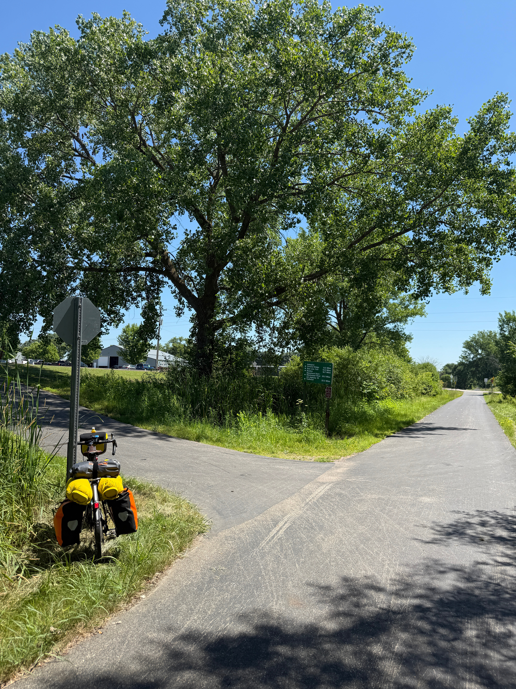
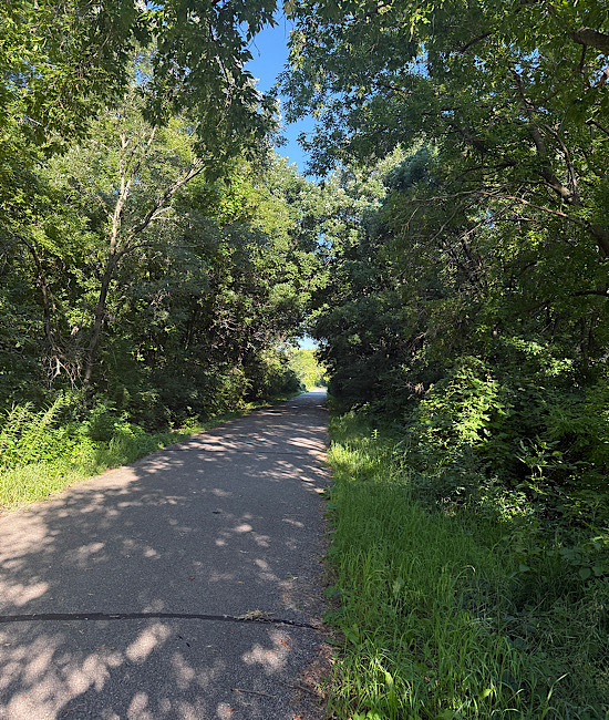
Route
- Cascade to Muscatine
Metrics
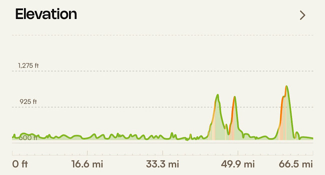
- Miles: 89
- Average Speed: Under 10 mph
- Road Time: 12 hours
Notes
- The roads are in too bad shape to bother with metrics.
Thought #21
- Work hard and take time for rest. (Especially on bad roads.)
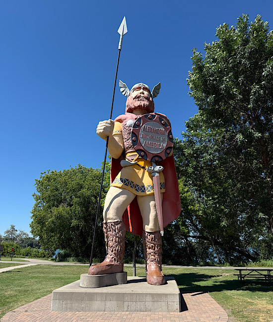
You have to be careful with pronunciations. Before you go around naming things, ask the locals how to properly pronounce whatever it is you are about to say. For example: Muscatine is a bit tricky, it is pronounced Mus-Ka-Teen. It’s important to get these things right, so people don’t look at you sideways.
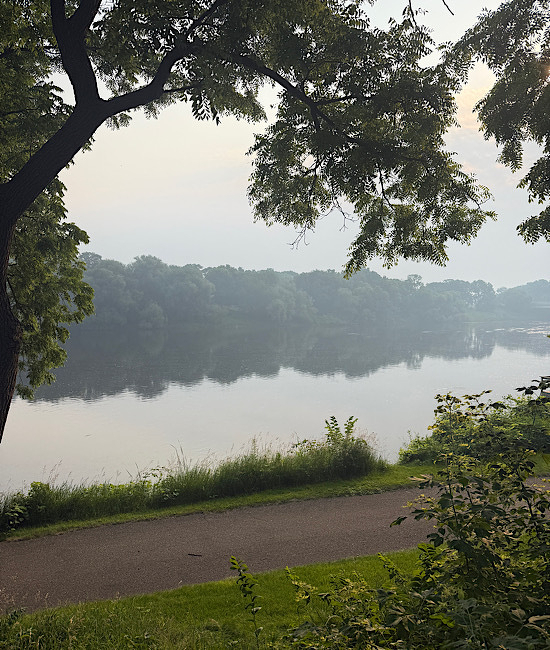
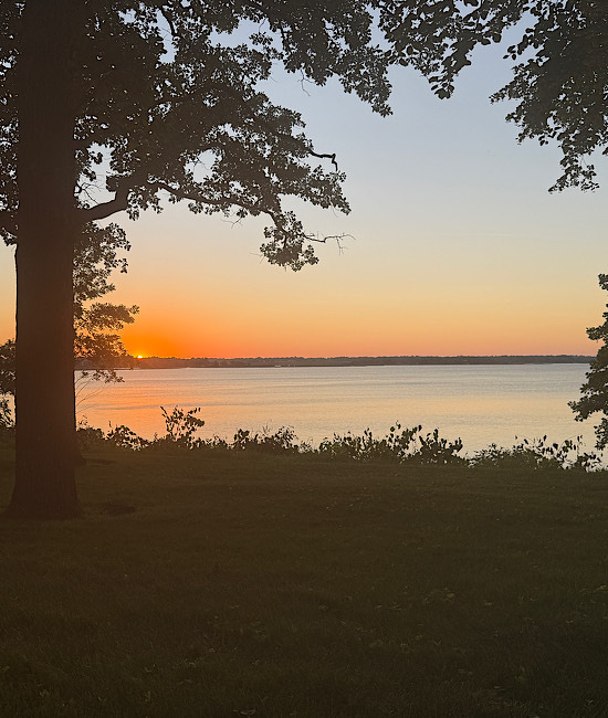
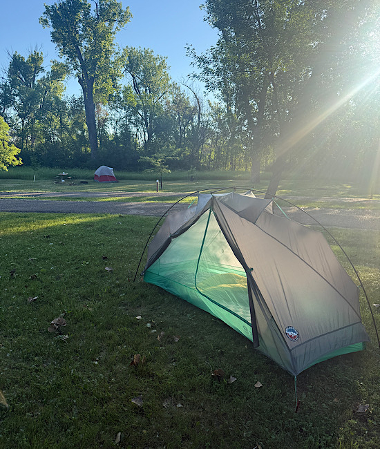
This morning for the third morning in a row, I have started my day in a heavy mist. Almost fog. I’ve never pictured the Midwest as being a foggy place. I mentioned this to someone during one of my stops and I asked what it was all about. The answer was, “Oh, that’s Corn Sweat…” When the days get hotter, and the corn starts to ripen, it gives off moisture which condenses as fog before the sun comes up. This leads to a high humidity layer close to the ground. That, combined with exercise, creates a sauna like atmosphere.
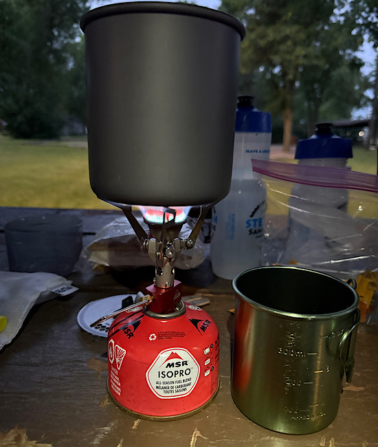
I like getting up before the sun rises. I have a headlamp, so I can do pretty much whatever I want to do. I usually start by taking down the tent and getting that packed up, as often as possible with my eyeglasses safely stowed somewhere other than inside the tent. At that point, I usually sit down and make myself a cup of coffee. It’s almost a ritual. That is to say, it’s a rather complicated process, but I enjoy the steps you have to go through to accomplish it. Sipping the coffee is a nice way to greet the sun. While I’m doing that, I enjoy listening to the birds waking up and talking to each other.
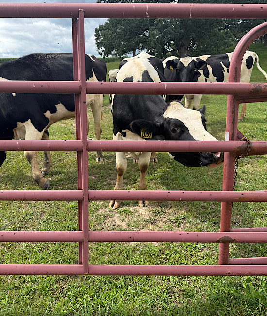
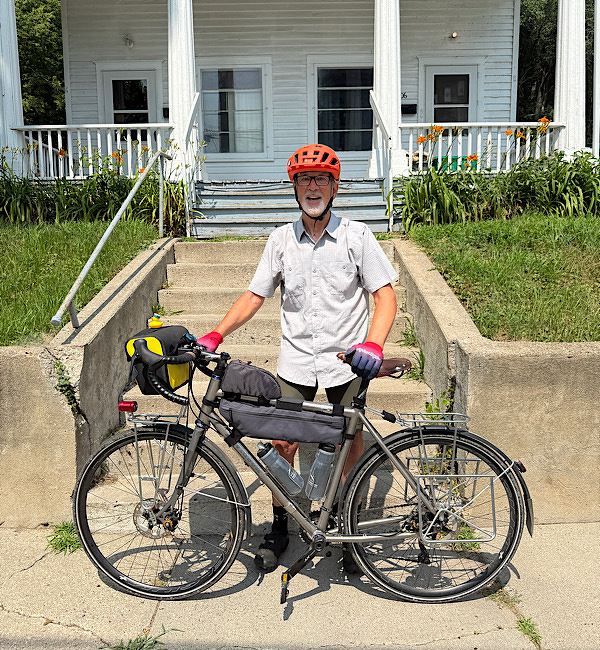
Today I rode 89 miles, my second longest day of the tour. My secret weapon for accomplishing today’s miles was milk. It gives you more protein and more energy than Busch Light. I stopped on three separate occasions today, each time I drank a pint of milk. Down the road I could actually feel the benefit of it. I think you could easily over indulge, so three pints is probably about the right number for a long day like today. You may be wondering if strawberry milk has the same benefit? I couldn’t tell you. The only way to drink strawberry milk is to drink it as quickly as you can, that way you won’t taste it…
I don’t have a plan for tomorrow. I’ll work on what that looks like over breakfast. I’m not in a particular hurry to get an early start. I am curious to see what Illinois is going to be like. I really don’t know what to expect.
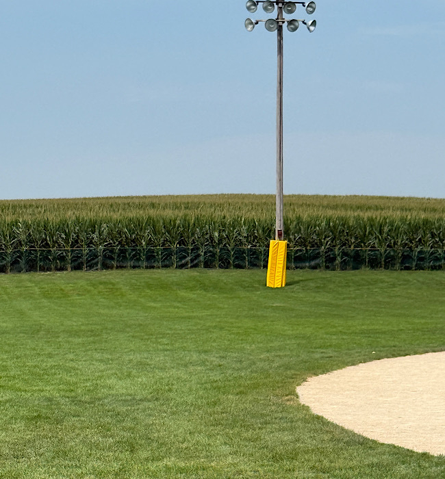
I got to thinking about my visit to the Field of Dreams… When I go back and Joe brings some friends with him for a game of catch with me, perhaps he’ll bring my father with him…
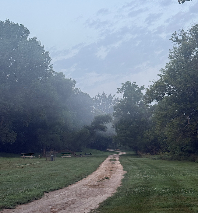
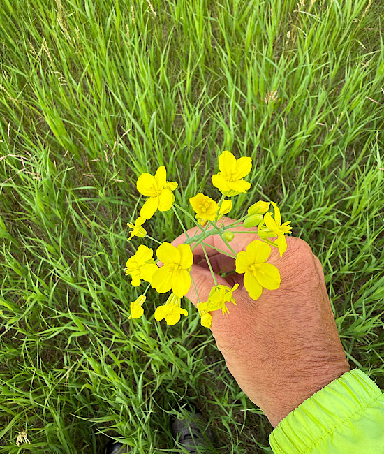
Corn Sweat.
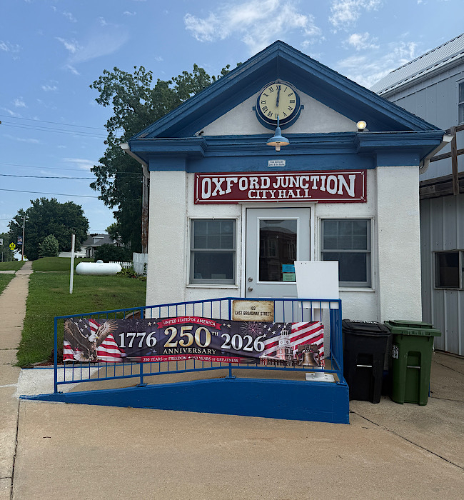
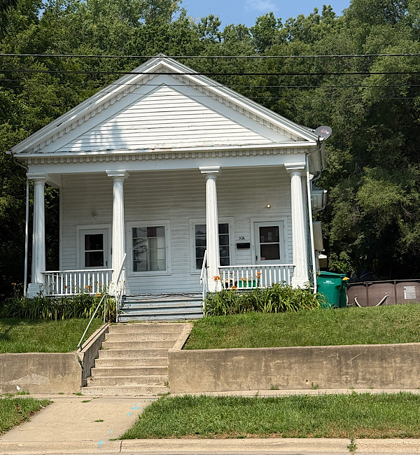
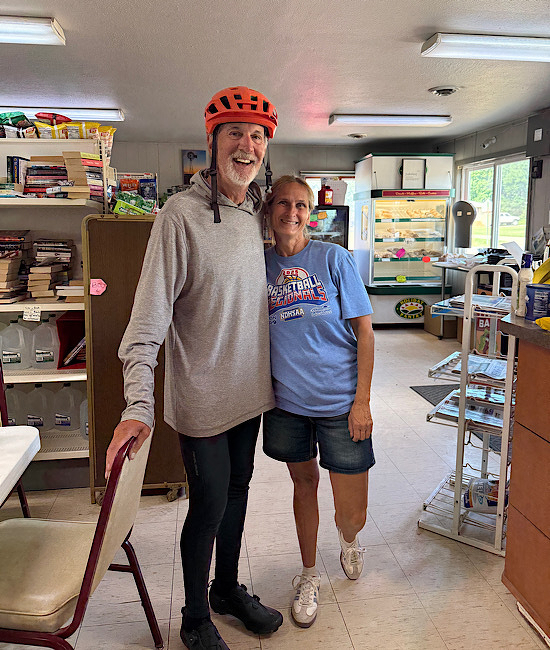
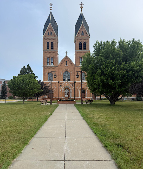
Oxford Junction, Iowa. Possibly the smallest City Hall in all of America. Of course that’s unofficial, but I got it straight from the mouth of a local that seemed to know what she was talking about.
A Brooks No. 17 Bicycle Saddle
is the most comfortable saddle for long distance touring.
Entry # 2,424